On a Sunday in early April 2026, I took the train out to the Cotswolds for a day of walking and photography. I went from London Paddington to Moreton-in-Marsh, and from there it’s a short bus ride on to Bourton-on-the-Water, an ideal starting point for a walking loop taking in Lower and Upper Slaughter before heading back.
The Cotswolds are a range of gentle limestone hills in south-central England, stretching across parts of Gloucestershire, Oxfordshire and neighbouring counties. The area is known for its honey-coloured stone villages, dry-stone walls, sheep-grazed fields and slow rivers.
The day turned out surprisingly sunny for early April, though the sky kept its own mind about it: long stretches of clear blue would give way, now and then, to a passing bank of cloud before opening up again.

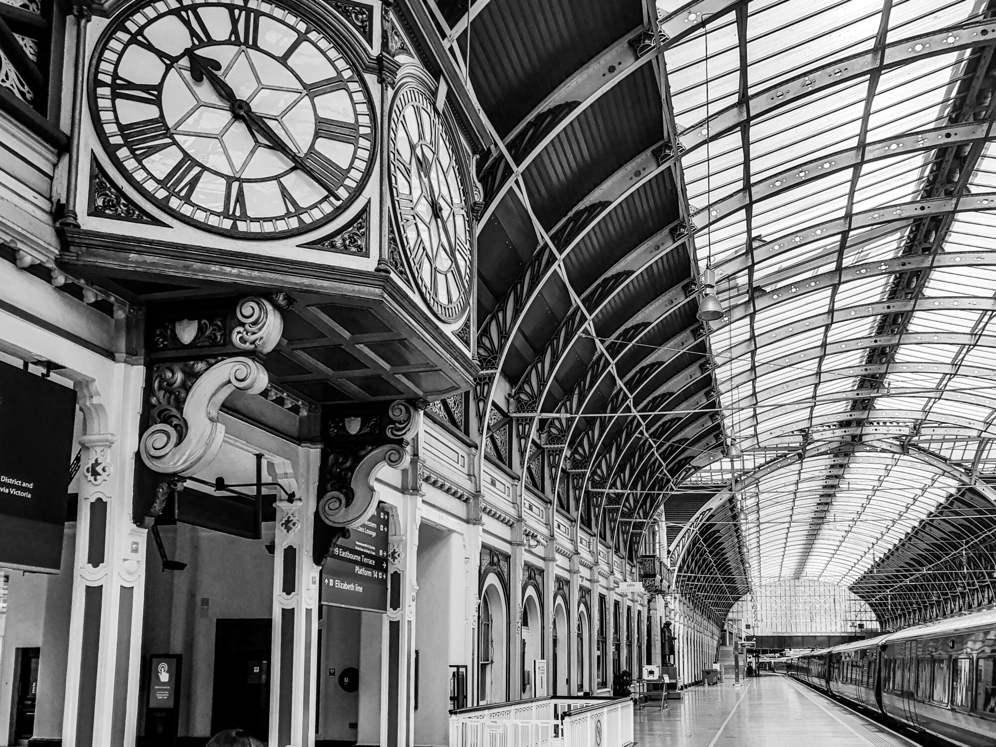
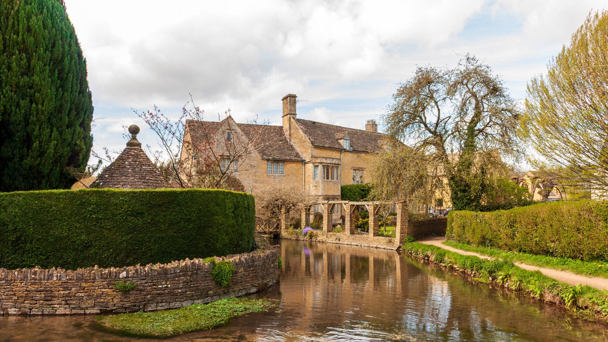
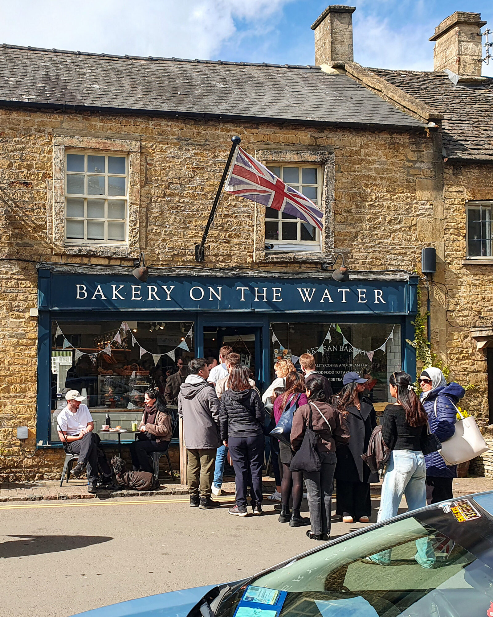
Paddington’s grand old station clock and curved iron-and-glass roof made for a fitting start to the journey. Bourton-on-the-Water, reached a couple of hours later, is sometimes called the Venice of the Cotswolds for the low stone bridges crossing the River Windrush right through the middle of the village. It was busy on a sunny Sunday — a proper queue had formed outside Bakery on the Water — but a few steps away from the main street, the little wooden footbridges over the quieter side of the river were far more peaceful.
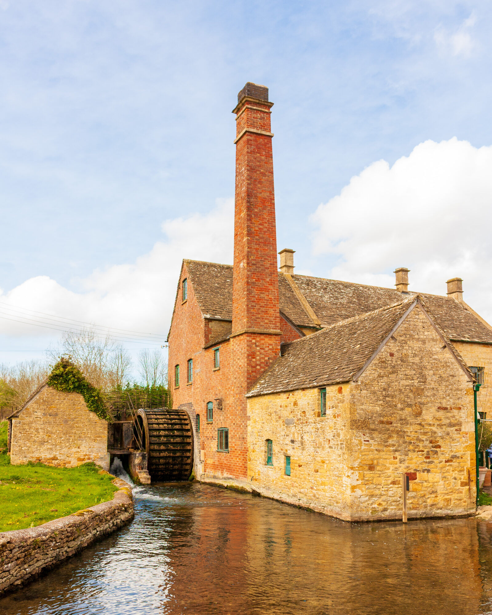
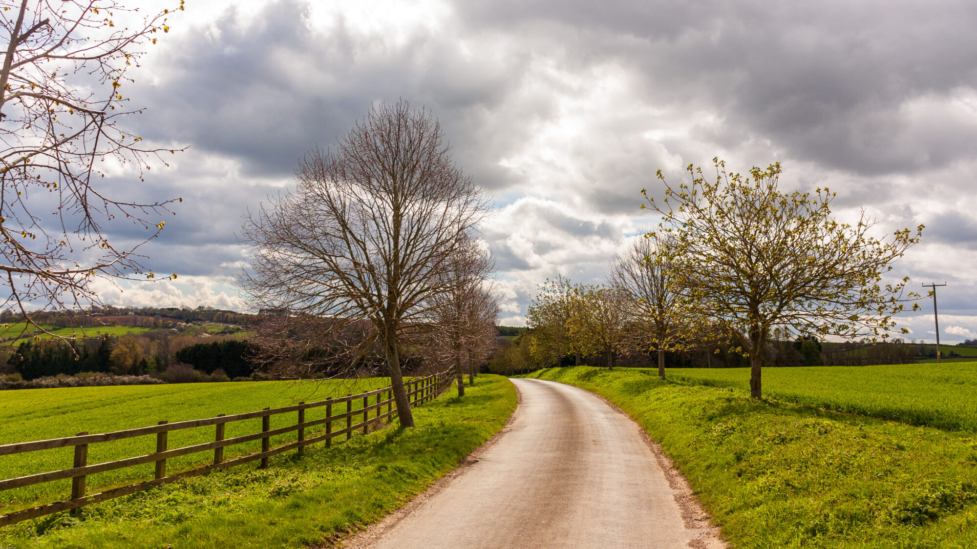
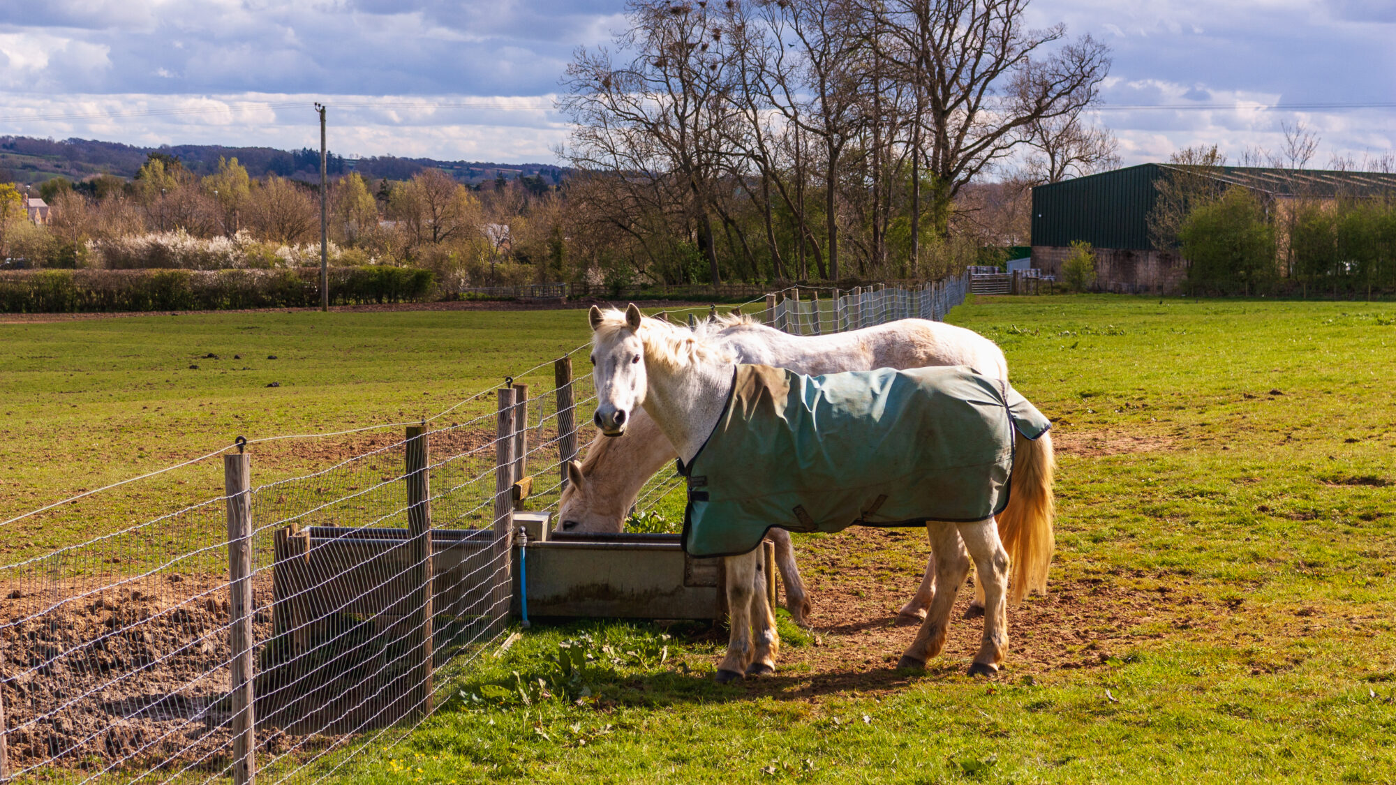
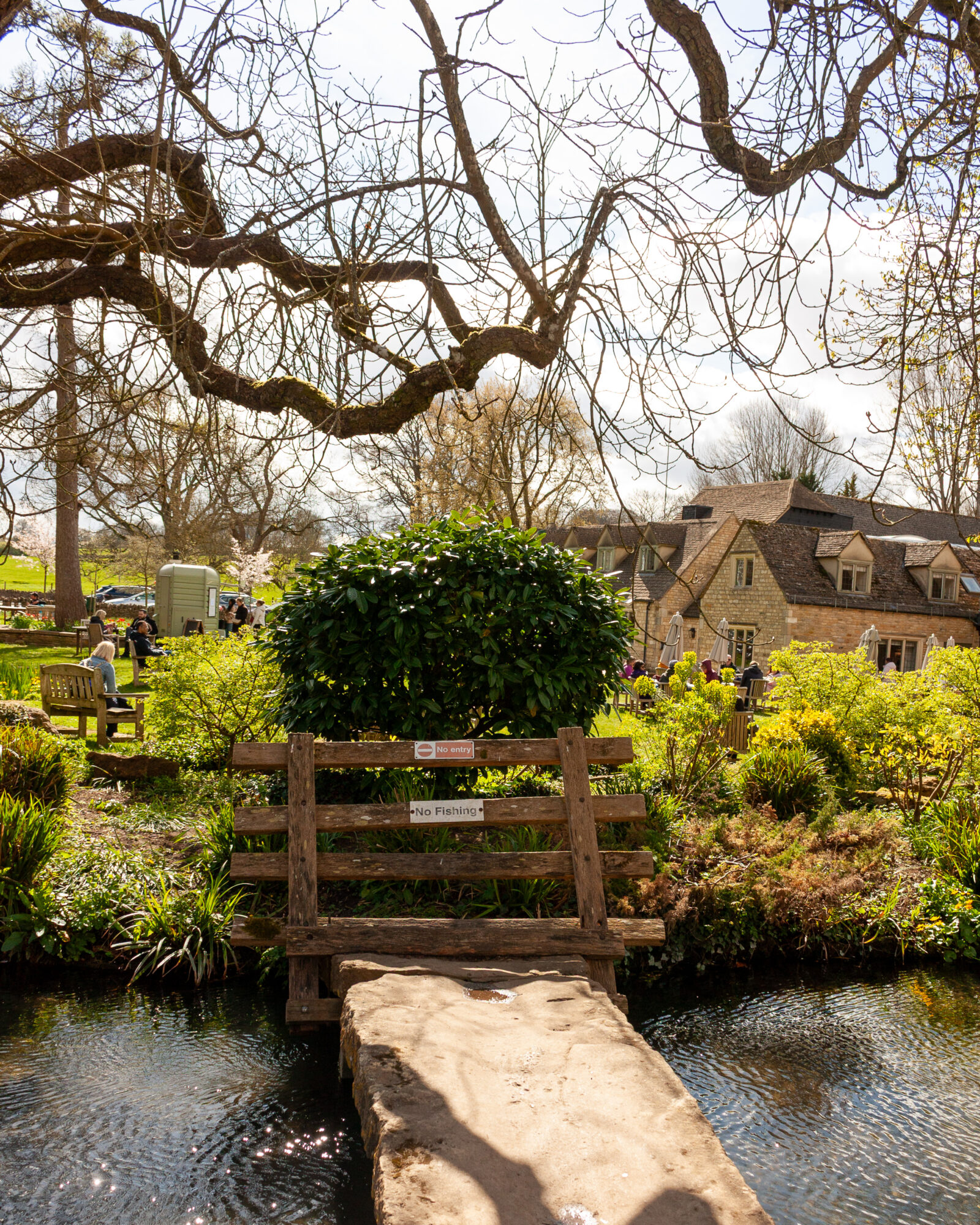
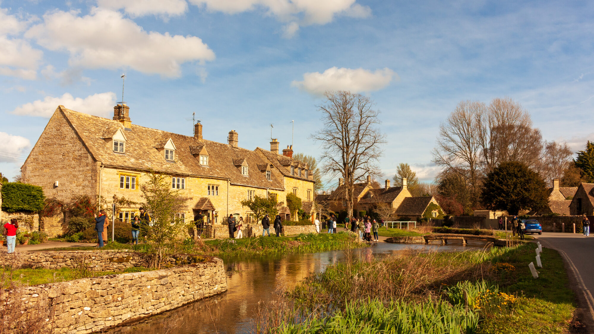
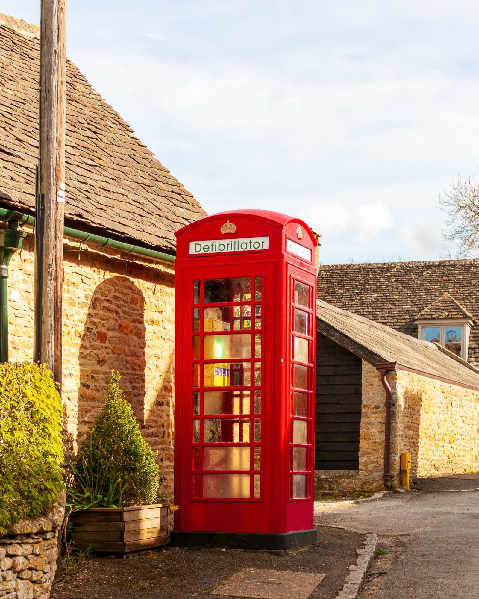
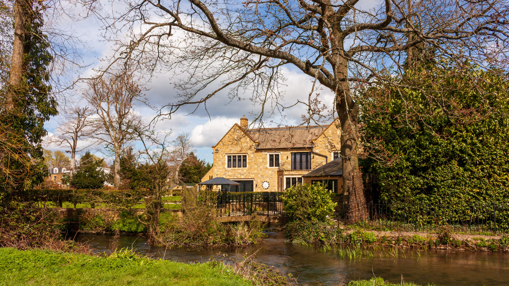
From Bourton, the path led out across open farmland, a straight dirt track between hedgerows, with a paddock of two white horses drinking at a water trough along the way. In Lower Slaughter, an old mill sits right on the little River Eye, its brick chimney and slowly turning waterwheel still very much intact. The village is lined on both sides of the river with honey-stone cottages and the odd grand manor house, its garden running down to the water. Upper Slaughter, a short walk further on, offers a beautiful church and a handful of houses, one of them with a red telephone box outside, these days doing duty as a defibrillator station rather than a phone.

— All photos from this set are on my portfolio.
Leave a Reply