In July 2026, I went for a Sunday photo walk out along the Trischendamm, a narrow causeway reaching almost two and a half kilometres into the Wadden Sea near Friedrichskoog-Spitze.
The day began under a clear blue sky, but the cloud thickened steadily as the afternoon wore on.

The Trischendamm was planned as a piece of coastal defence. It was built in 1935/36 to block off a dangerous tidal channel that was threatening Friedrichskoog, much of which lies below sea level. At around 2.4 kilometres long, it was originally intended to run much further, all the way out to the island of Trischen some fourteen kilometres offshore.
Today, the dam is a public footpath, generally passable on foot even at high tide, and only becomes unsafe to cross during exceptionally high storm surges. The photos below follow the walk out along it and back.

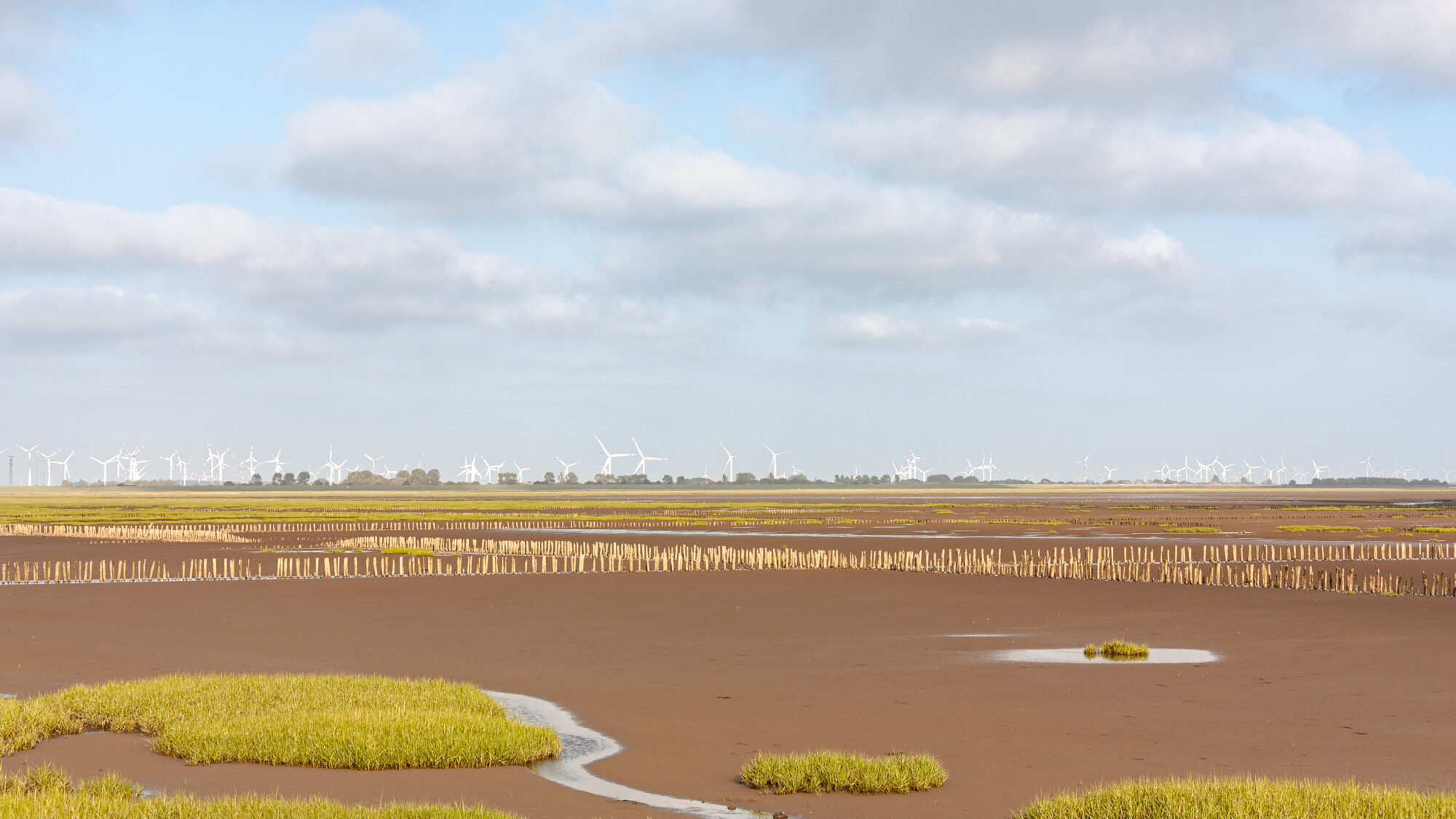
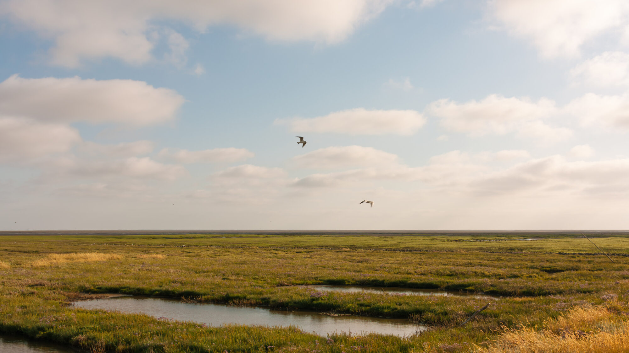
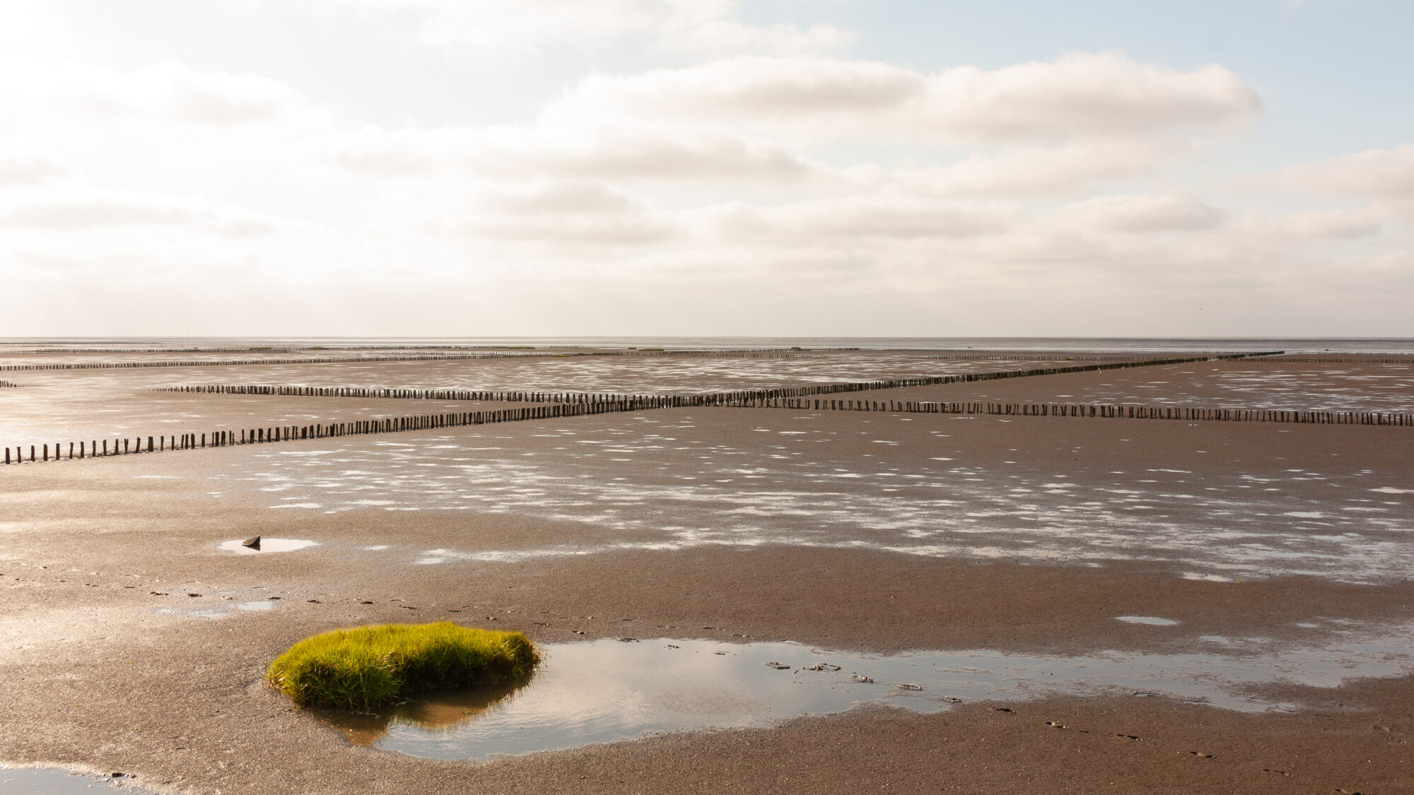
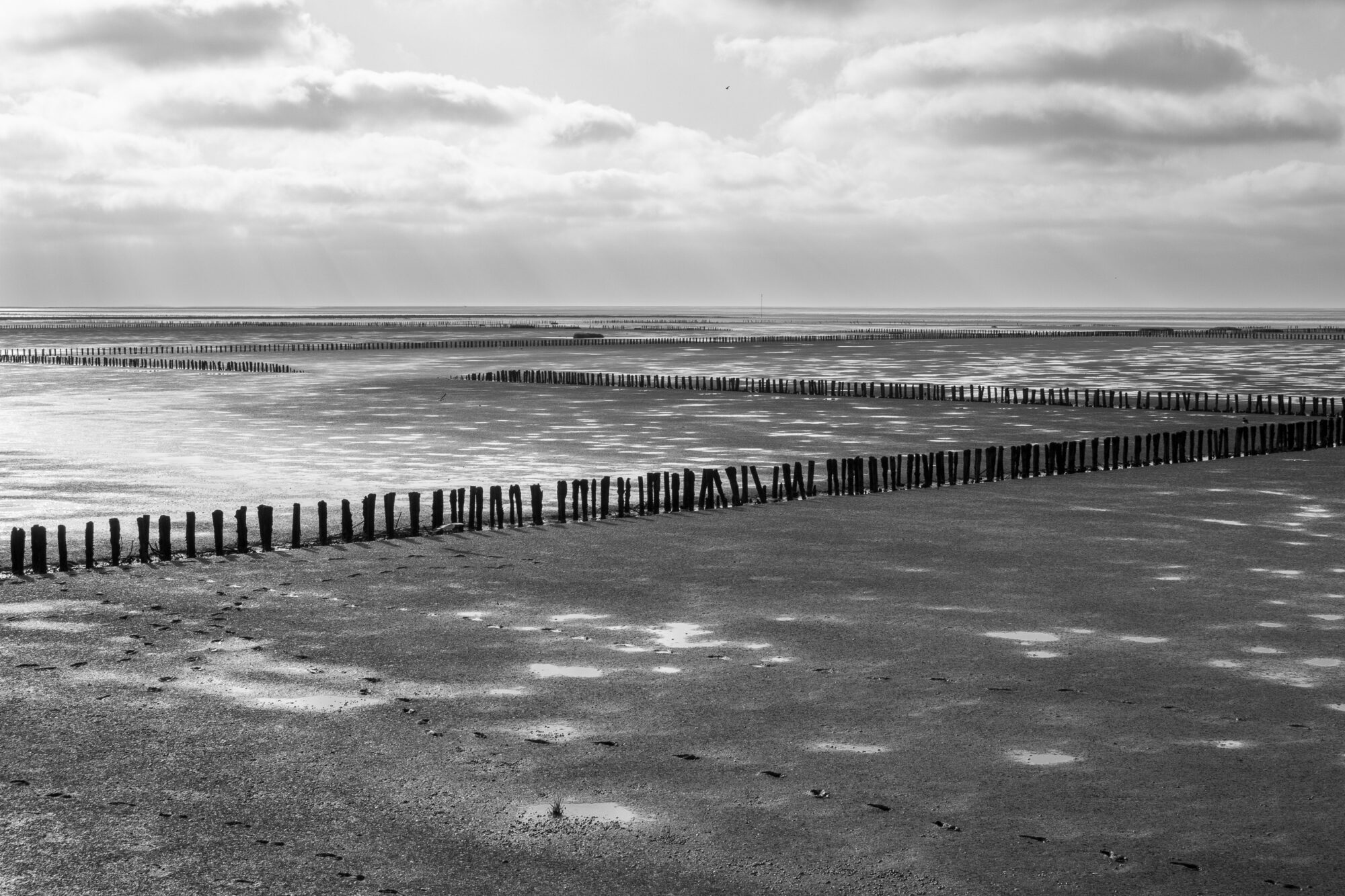
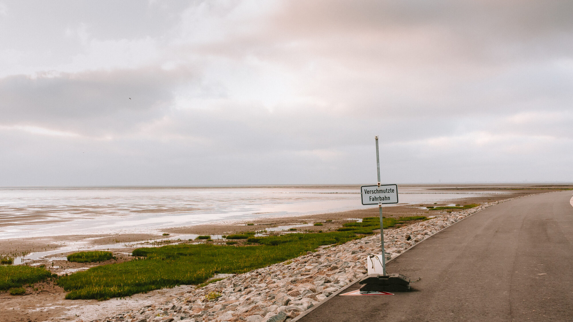
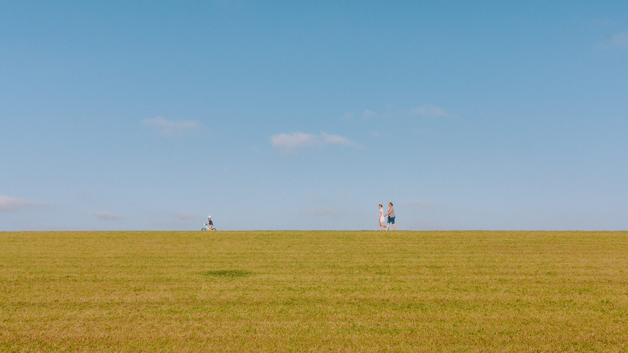
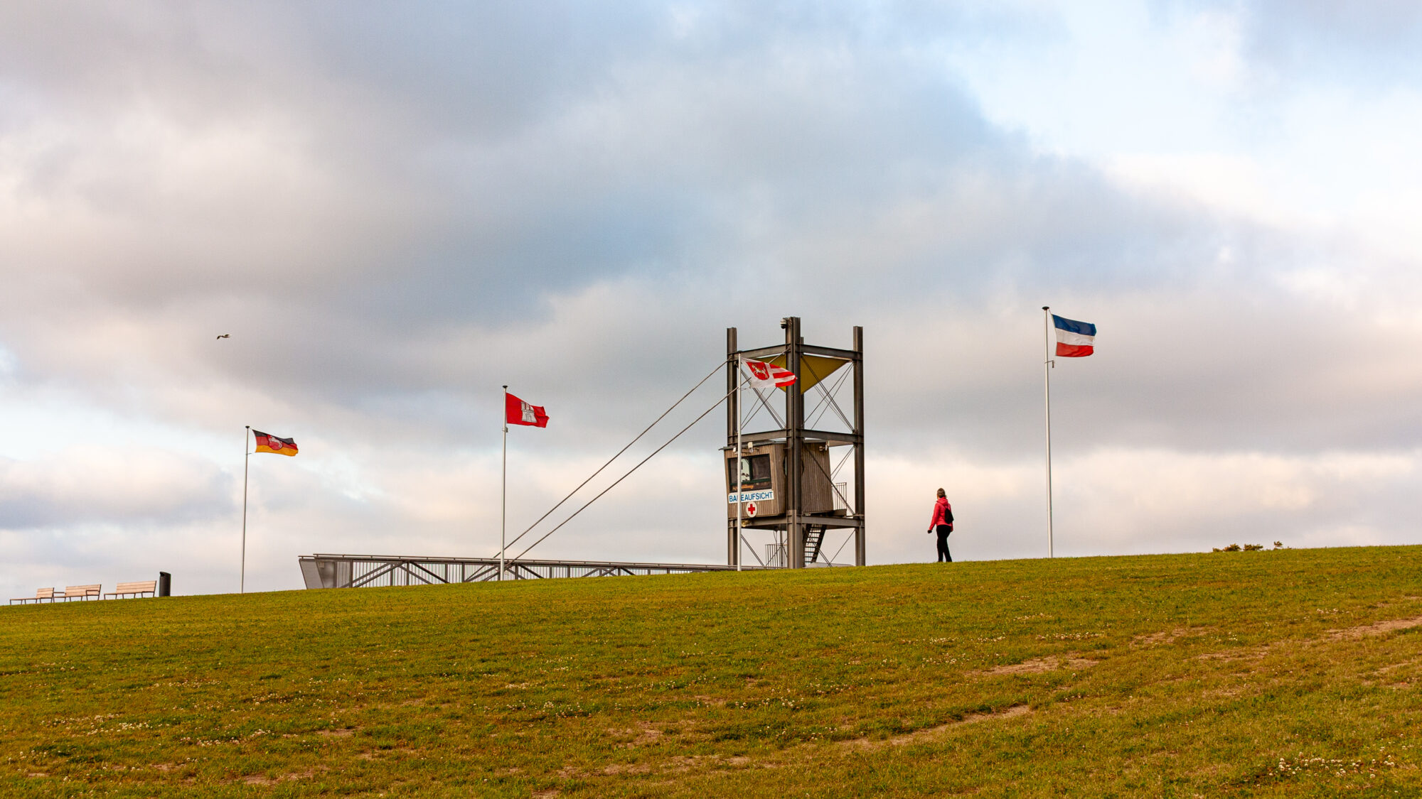
What stayed with me most was simply how it feels to stand two kilometres out into the sea on dry ground, even at low tide, with the water gone and the mudflats stretching away on both sides.

— All photos from this set are on my portfolio.

Leave a Reply